2026-07-23 · Josh Douglas
The short version: A flood zone is a risk category, not a promise. Zone X is lower risk, not zero risk, and nearly a third of federal flood claims come from outside the high-risk zones. Zone AE or VE means a lender with a federal loan will require flood insurance, but plenty of people live in those zones just fine. Before you fall for a house, look up its zone by address. It takes about a minute and it can change the monthly number a lot.
What the letters actually mean
FEMA sorts land into flood zones on its maps. For a Brevard buyer, three come up the most.
- Zone X. The lower-risk category. Unshaded X is minimal risk, shaded X sits in the 500-year floodplain, which is a fancy way of saying moderate risk. No federal rule forces you to carry flood insurance here. That is the part people hear. The part they miss is that "not required" is not the same as "will not flood."
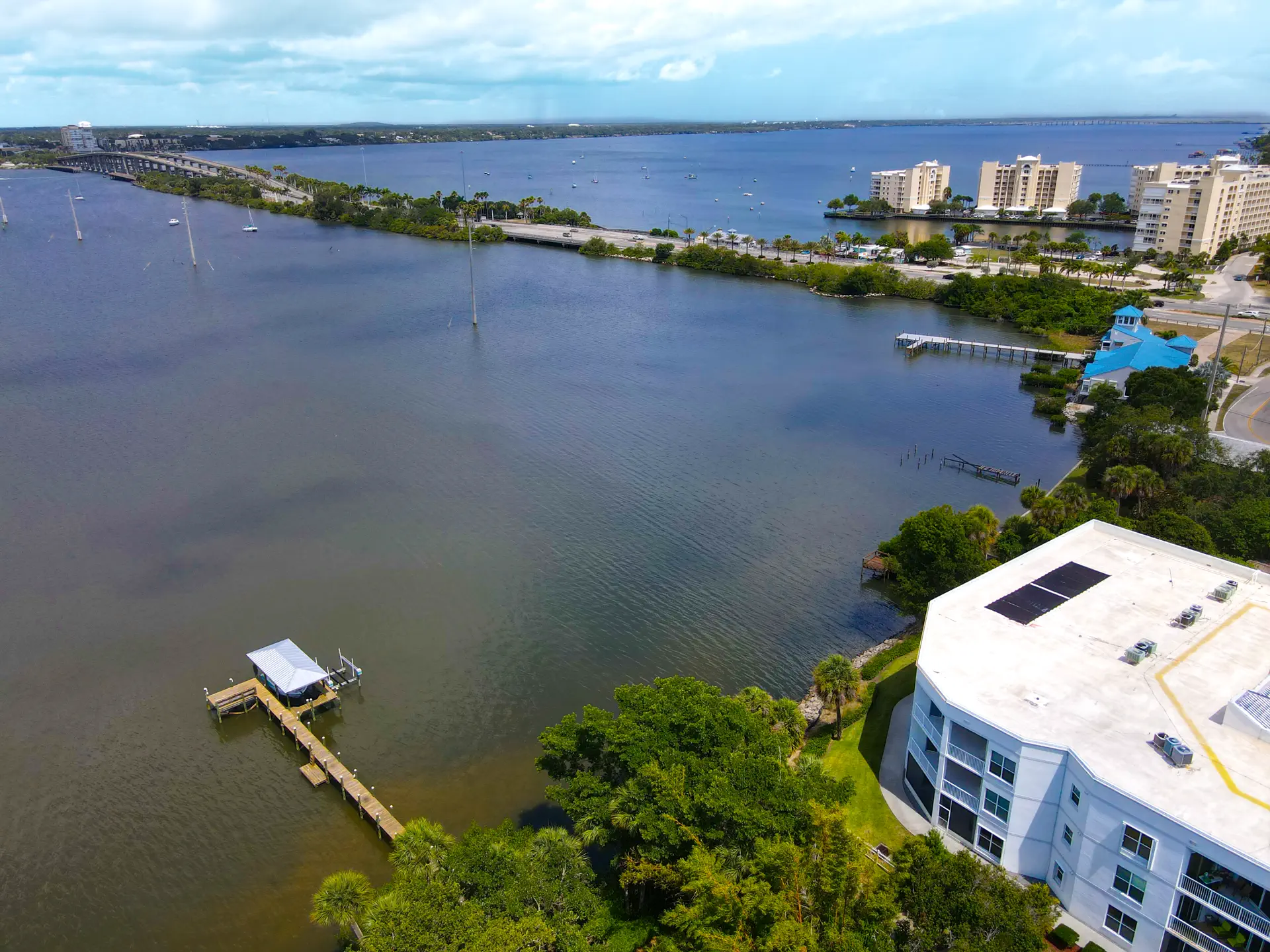
- Zone AE. A high-risk zone, what FEMA calls a Special Flood Hazard Area, usually near a river, a canal, or the Indian River Lagoon. A home here has roughly a 26% chance of flooding over a 30-year mortgage. The map also assigns a base flood elevation, a target height the lowest floor is measured against.
- Zone VE. The coastal version of AE, where wave action and storm surge get added on top. You see VE on the barrier island in spots facing the ocean. It is the most expensive zone to insure, for reasons that are not a mystery.
Here is the number that reframes the whole thing. Over the last decade, close to one in three National Flood Insurance Program claims came from properties outside the high-risk zones. Water does not read the map. A blocked storm drain, a stalled summer downpour, or a hurricane band parked over your street does not check whether you were in X first.
Where the zone hits your wallet
Two things flow from the zone: whether you are forced to buy coverage, and roughly what it costs.
If you take a federally backed mortgage on a home in AE or VE, the lender will require flood insurance before you close. That is federal law, not the bank being difficult. In Zone X it is optional, though some lenders still ask for it and it is often worth carrying anyway, because a policy on a low-risk home is usually one of the cheaper lines in the whole budget.
On price, the honest answer is that it depends on the specific house, not just the zone. Since FEMA moved to its Risk Rating 2.0 pricing, premiums are built from the individual property: distance to water, elevation of the lowest floor, foundation type, prior claims, and replacement cost. Two houses on the same street can price differently. As a rough anchor, the statewide average NFIP premium in Florida runs around $1,363 a year, but a well-elevated home in X can land well under that, and a low slab in VE can run well over it. Get a real quote on the real address before you trust any average, including that one.
The 30-day wait nobody mentions until closing
A new flood policy through the NFIP usually does not take effect for 30 days. That surprises people, and it matters during hurricane season, because you cannot watch a storm form in the Atlantic and buy coverage that week. There are a couple of real exceptions worth knowing:
- Buying with a loan. When flood insurance is required as part of making or closing a mortgage, coverage is effective at closing. No 30-day wait. This is the common case for buyers in AE or VE.
- Newly mapped in. If your property was recently moved into a high-risk zone by a map change and you buy within roughly the first year, the wait can drop to one day.
If you are a cash buyer, or you are adding an optional policy on an X-zone home, plan for the 30 days. Start it early, not the week you go under contract.
How to look up any address in about a minute
You do not need me for this part, and you should never take a listing's word for the zone. Check it yourself.
- FEMA Flood Map Service Center. Go to msc.fema.gov, use the address search, and it returns the effective flood map for that spot. In modernized areas it offers an interactive map view so you can see the zone lines and any base flood elevation. If you would rather ask a person, the center has a toll-free line at 1-800-358-9616.
- Brevard County's flood zone map. The county keeps its own interactive flood zone map through Brevard GIS, and Public Works is the official local repository for the FEMA map panels. It is handy for double-checking a parcel and seeing what is next door. If a property straddles a line or looks borderline, the county floodplain office is the right place to confirm.
- My flood-zone tool. For a fast first read by address, my flood-zone lookup gets you the zone in a few seconds. Use it to sort houses before you tour, then confirm the winners on the FEMA and county maps.
One caution on all three: flood maps get updated, and a home can move zones between map revisions. The map that mattered when the seller bought may not be the one that matters now. Always pull the current map for the current address.
None of this is a reason to skip a house or to panic about a letter. A Zone X home can still flood, and an AE home can be a perfectly smart buy with the right elevation and a policy priced into your budget from day one. The mistake is finding out the zone, the premium, and the 30-day wait after you are already emotionally sold. If you want a straight read on what a specific Brevard address sits in and what it is likely to cost to insure, text me at (321) 576-2239. I answer 8am to 8pm, usually within the hour. No pressure either way.