Diana Shores, the honest version.
Five hundred thirty-three homes off Courtenay Parkway, roughly three-quarters of them with a pool, and a homeowners association that costs thirty dollars a year and does not touch your covenants. Half the story here is water. The other half is 1968.
Half a canal community is still half.
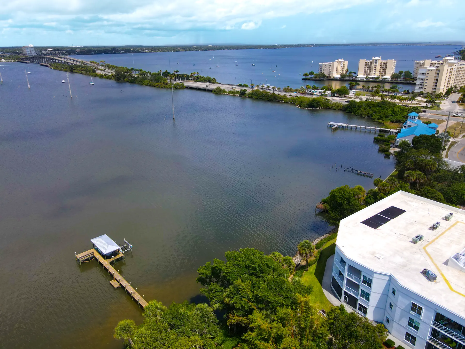
Diana Shores sits on Courtenay Parkway on central Merritt Island, built out mostly across the 1960s and 70s during the Kennedy Space Center hiring boom. The name gets used for the whole neighborhood, but the water only reaches part of it: roughly half the lots back onto navigable canals feeding Sykes Creek, which runs to the Barge Canal and out to both the Indian River and the Banana River. The other half are ordinary interior lots. Nobody selling you a house here is going to volunteer which one you are looking at. The county roll will tell you.
What 533 homes look like on paper.
I keep the full Brevard property roll on hand, every parcel, not a listing-site sample. This is all of Diana Shores as the county appraiser sees it, across 12 recorded plats.
Source: Brevard County Property Appraiser public roll, mid-2026. Sale medians are recorded sale prices, not appraiser market value.
Three Diana Shores realities to price in.
"Canal community" is a description of half the neighborhood
Sykes Creek access is real for the lots that have it, and it is the reason this community carries a $681,250 median sale on houses this age. But an interior lot two streets back gets none of it, and the marketing rarely draws the line for you. Before you get attached to a listing photo of a dock, confirm on the plat or by walking the property whether that specific parcel touches a navigable canal or just sits near one. It changes the value calculation more than almost anything else on this page.
A 1968 median means the roof and the seawall are both on the clock
Median year built here is 1968. In Florida in 2026, that drives insurance harder than price does: a four-point inspection can decide whether a policy gets written at all, and insurers price roof age above almost everything else. On a canal lot, add the seawall to that list. A failing seawall is a five-figure repair and not always visible from the yard. Get the roof age, the wind mitigation report and, on any waterfront parcel, the seawall's condition and permit history before you are emotionally committed to the house.
A $30-a-year HOA is not the same thing as covenants
The association here, per its own site, is a voluntary $30-a-year membership that pays for shared landscaping and a newsletter, with no recorded covenants behind it. That is unusual for a subdivision this size, and it cuts both ways: fewer rules to violate, but also less private enforcement if a neighbor lets a property go. What governs use and appearance here is ordinary Brevard County code, the same as anywhere unincorporated. If the certainty of a covenant-enforced HOA is what you are shopping for, this is not that, and it is worth knowing before you assume otherwise from the word "association."
Two things I could not source.
Two things I would rather show you the gap on than fill with something I read on an aggregator site.
The exact flood zone for a given lot
Canal-front property on Merritt Island commonly carries a higher-risk AE designation, but that is a general pattern from local sources, not a FEMA lookup I ran for this specific community, and it varies by lot. Pull the parcel-specific zone from FEMA's Map Service Center before you write an offer on anything near the water. My flood zone guide walks through what the letter and number actually mean for your insurance bill.
Your school zoning
Assigned by address, not by subdivision, and it gets redrawn. A community spread across 12 plats can split across attendance zones at the edges. Verify the exact address with Brevard Public Schools rather than trusting a listing site's field, which is exactly the kind of thing that goes stale and gets copied forward for years.
If it is the era you are shopping.
If a 1960s-built house is the actual category you are comparing, not just Merritt Island, Levitt Park in Rockledge runs the same roof-age math a few years older with no canal at all, at a lower median sale. If the water is the non-negotiable part, nothing else on my published list competes with a Sykes Creek lot. The Merritt Island guide covers the wider market.
Questions people actually ask.
Is Diana Shores a canal community?
Part of it. Roughly half the lots back onto navigable canals that drain to Sykes Creek, which connects through the Barge Canal to both the Indian River and the Banana River. The other half are interior lots with no water access at all. "Diana Shores" as a name covers both, so confirm whether a specific listing is a canal lot or an interior lot before you fall for the name.
Does Diana Shores have an HOA?
Yes, but a light one. Per the association's own site, it is a voluntary $30-a-year membership due each March 1, and it funds island-median landscaping, a newsletter and community insurance. There are no recorded covenants behind it. Architectural and use restrictions here run through ordinary Brevard County code enforcement, not a private association.
What flood zone is Diana Shores in?
It depends on the specific lot, and I am not going to guess. Canal-front property on Merritt Island commonly carries a higher-risk AE designation, but that is a pattern, not a subdivision-wide fact, and interior lots often sit in a different zone entirely. Pull the parcel-specific flood zone from FEMA's Map Service Center before you write an offer, especially on a waterfront lot.
How old are the homes in Diana Shores?
Median year built is 1968, with the community filling in as early as 1963 and as late as 2024 on a handful of rebuilds. Most of the neighborhood dates to the Kennedy Space Center hiring boom of the 1960s and 70s, which means the roof and the seawall are the two things to check first on almost any house here.
Looking at a Diana Shores listing? No pressure.
Tell me whether you need the canal or just the neighborhood, and I will tell you which lots on your list actually have it. No drip campaign, no calls.